
Orlando Forecast: Windy Weekend Sparks Surf Risks and Coastal Flooding Alerts
The weather in Orlando is becoming increasingly influenced by a disturbance just offshore to the east, resulting in heightened wind conditions.
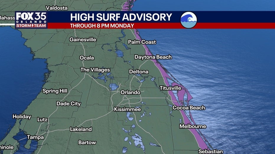
The weather in Orlando is becoming increasingly influenced by a disturbance just offshore to the east, resulting in heightened wind conditions. This, along with an incoming onshore flow, is set to enhance rain chances and contribute to rough beach and boating conditions as the weekend progresses.
Today, Central Florida will experience sustained northeast winds of 15-20 mph, with gusts reaching 25-30 mph. These conditions will make for a pleasant atmosphere despite the sunny skies. High temperatures will be in the lower 80s (80°–82°) for the Orlando metro area, while coastal regions will be cooler due to a steady ocean breeze.
Hazardous marine conditions are a concern along the Atlantic coastline, with a Gale Warning issued as seas could reach 10–15 feet offshore. Beachgoers should avoid entering the water due to the risk of dangerous rip currents and rough surf. A Coastal Flood Warning is also in effect for areas susceptible to flooding.
The Atlantic basin remains quiet, with no tropical cyclone developments expected in the near future. The National Hurricane Center notes that there are no threats to Florida or the U.S. coastline, but monitoring efforts will continue.



Comments
No comments yet.